Representative End User Clients







Representative Automation Clients







Representative Software Clients









In July 2026, Typhoon Maysak brought persistent heavy rainfall to Guangxi, triggering severe flooding in several areas, including Hengzhou, Nanning, and Guigang. Roads were submerged, bridges were washed away, and ground access for rescue teams was largely cut off, rendering conventional rescue methods nearly ineffective.
At this critical moment, a fleet of “aerial commandos,” comprising heavy-lift transport drones, emergency communications drones, and reconnaissance drones, was urgently deployed and became a core component of the disaster relief operation.
As floodwaters isolated villages and effectively turned them into islands, conventional ground rescue teams were unable to reach them quickly. More than 10 DJI heavy-lift drones manufactured in Guangdong were immediately deployed.
The DJI FC100, or FlyCart 100, was the primary heavy-lift model used during the rescue effort. Introduced in June 2025 as a flagship drone for complex, low-altitude transport operations, it has a maximum takeoff weight of 149.9 kilograms and a maximum payload of 80 kilograms in single-battery mode.
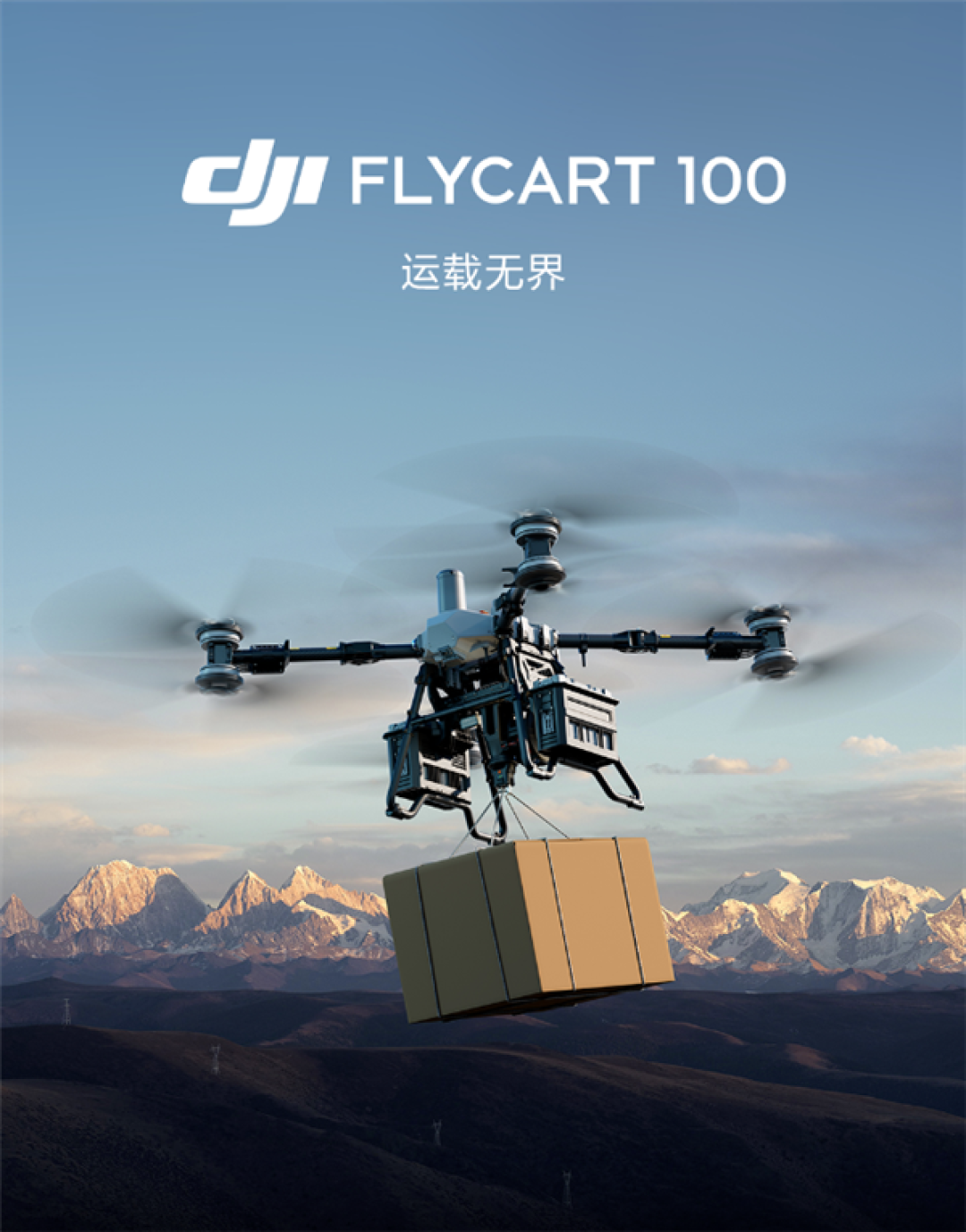
During a single flight, the drone could deliver substantial quantities of life jackets, drinking water, and food. Its 41 Ah high-capacity battery supports nine-minute ultra-fast charging, significantly reducing the turnaround time between consecutive rescue missions.
The FC100 also features an integrated intelligent protection system combining LiDAR, millimeter-wave radar, and a five-camera vision system. These capabilities support stable, all-weather operation in the rain and low-visibility conditions commonly encountered during floods.
Rescue personnel noted that during previous flood emergencies, ground access to low-lying villages was often time-consuming and dangerous once roads became submerged. Heavy-lift drones, by contrast, are not restricted by flooded roads or damaged bridges and can quickly reach locations inaccessible to ground vehicles, delivering life-saving supplies sooner.
The DJI T100 was also deployed during the response. Guangxi Tianyu Intelligent Technology Co., Ltd. dispatched multiple FC100 and FC200 transport drones to the front line. Drones operated by Beitou Low-Altitude Flight Company were equipped with infrared search-and-rescue systems and airborne searchlights, improving the efficiency of nighttime operations.
Communication outages presented another major challenge alongside the disruption of road access.
In response to a request from Guangxi, China’s Ministry of Emergency Management dispatched two Wing Loong drones to the disaster area to help restore communications. The Wing Loong emergency variant is a long-endurance, multi-role drone designed for extreme scenarios involving damaged roads and the loss of network connectivity and electrical power.
The drones circled continuously above the affected areas, functioning as aerial base stations and rapidly restoring mobile communications across approximately 50 square kilometers. Residents were once again able to contact the outside world using their mobile phones, while communications between front-line rescue teams and command headquarters were also reestablished.
China Mobile Guangxi Company deployed more than 30 drone airports to conduct comprehensive aerial surveys across several affected townships. The drones completed 210 sorties and accumulated 45 flight hours.
Over Yunbiao, China Mobile also deployed a satellite base station drone. It operated alongside heavy-lift transport drones, supporting emergency supply deliveries while simultaneously providing mobile signal coverage for people in the area.
China Southern Power Grid dispatched multiple M400 industrial drones to conduct aerial surveys and inspect power lines, providing real-time video feeds to the rescue command center. Smart-link drones operated by Nanning Tower also captured live images of reservoir dams and downstream flood-affected areas, providing critical visual information for rescue and relief operations.
The deployment demonstrated more than a collection of individual technological capabilities. It reflected a systematic operating model covering the entire chain of surveillance, communications, transport, and rescue.
The operation brought together several important drone capabilities:
Heavy-Lift Transport: Drones such as the FC100 delivered food, water, life jackets, and other essential supplies to locations that ground vehicles could not reach.
Emergency Communications: Wing Loong drones functioned as aerial base stations, restoring connectivity where terrestrial networks and power infrastructure had failed.
Search and Rescue: Infrared imaging and airborne searchlights supported the identification of people and hazards during low-visibility and nighttime operations.
Aerial Surveillance: Reconnaissance drones provided live images of affected communities, reservoirs, dams, and downstream areas.
Infrastructure Inspection: Industrial drones assessed power lines and other critical infrastructure without exposing personnel to unnecessary risks.
For heavy-lift transport, models such as the FC100 combine an 80-kilogram payload capacity with perception systems integrating LiDAR and millimeter-wave radar. These capabilities allow them to conduct more precise deliveries during rain and low-visibility conditions, helping address the recurring flood-response challenge of being unable to reach isolated communities or deliver essential supplies.
For emergency communications, the Wing Loong series provides long endurance and wide-area coverage when roads, communications networks, and power systems are unavailable. This provides an important connection for command coordination and public communications. From the 2021 Henan rainstorm to the 2026 Guangxi floods, the Wing Loong has been deployed in several real-world disaster scenarios.
At the system level, the rescue operation integrated heavy-lift transport drones, communications relays, infrared search-and-rescue systems, aerial survey drones, and hydrological monitoring technologies.
Emergency management departments, telecommunications operators, power companies, and drone manufacturers coordinated their activities to create a multidimensional rescue network encompassing aerial reconnaissance, supply delivery, personnel searches, communications restoration, and infrastructure inspection.
This coordination among multiple drone types, organizations, and operational tasks indicates that China’s drone-based emergency response capabilities are developing beyond isolated deployments and toward more systematic implementation.
China also has an extensive drone industry chain spanning core components, complete aircraft manufacturing, and industry-specific applications. This ecosystem supports the rapid deployment, maintenance, and resupply of rescue equipment.
The combination of relatively low costs, large-scale manufacturing, and operational efficiency is helping move drone-based disaster relief beyond demonstration projects and toward routine operational use.
The 2026 Guangxi flood response served as a real-world stress test for drone technologies and products.
The FC100’s ability to conduct precise deliveries during heavy rain and low-visibility conditions demonstrated the potential value of radar-and-vision-fusion perception systems. The Wing Loong’s long-endurance communications relay capabilities also demonstrated the role that large unmanned aerial vehicles can play when roads, communications networks, and electrical power are unavailable.
The coordinated surveillance, communications, transport, and rescue capabilities demonstrated during the response represent a potentially reusable technical framework and operational model for future emergencies.
These capabilities are also extending beyond disaster response. Drone-based logistics are moving into routine operations, agricultural drones are supporting end-to-end precision management, and automated drone stations are enabling some urban inspection activities to shift from pilot-controlled to unattended operations.
Drones are also being applied to demanding environments such as high-rise firefighting and high-altitude scientific exploration. Supporting these developments are advances in AI-driven autonomous decision-making, 5G-connected communications, and hybrid-power systems designed for longer flight endurance.
As airspace management practices evolve and airworthiness standards become more clearly defined, the drone industry is moving from isolated technological advances toward more comprehensive systems. A low-altitude intelligent network supporting industrial operations, public services, and emergency response is gradually taking shape.
ARC Initiates MarketMap Research on Drones for Process Industries
Drones for Process Industries MarketMap 2026: How the Supplier Landscape Is Shifting
Advancing Pipeline Integrity: The Role of Modern Technologies in Oil and Gas Leak Detection
Lots of IIoT, Analytics and, Yes, Even Some Talk of Drones at ARC Forum
The Guangxi deployment illustrates how drones are evolving from individual tools for surveying or delivery into coordinated operational systems. By combining autonomous flight, sensing, communications, analytics, and multiagency coordination, these platforms can support faster and safer responses in environments where conventional infrastructure and access routes have failed.