Representative End User Clients







Representative Automation Clients







Representative Software Clients








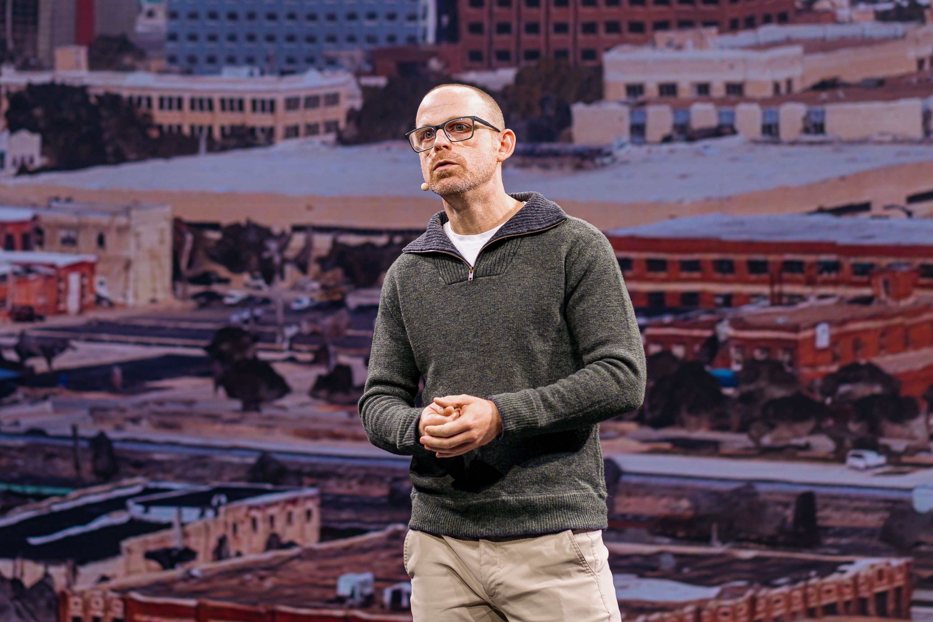
Bentley Systems’ acquisition of Cesium marks a significant step forward in advancing open and context-rich infrastructure solutions. Patrick Cozzi, Bentley’s Chief Platform Officer, described how context and openness underpin this vision: “Using Cesium as the core, we’re building an open platform for the natural and built environment. We’re exposing foundational technology through open APIs so that engineers can design in the real-world context of their projects.”
Cozzi demonstrated how photogrammetry, 3D reality capture, and Gaussian splats are enabling highly detailed, realistic models of the built environment. He also highlighted AI feature detectors that identify assets or defects within point clouds, turning raw data into usable insights. “Once we can see the scanned environment, we want to analyze it and extract real-world insights,” he said, emphasizing data control and transparency. These developments reflect a clear shift from pure visualization toward analytical, insight-driven decision-making in infrastructure management.
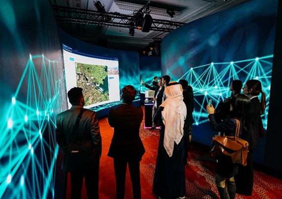
The acquisition brings together Bentley’s engineering-grade digital twins with Cesium’s global-scale 3D streaming capabilities. Bentley’s iTwin platform ensures technical accuracy and traceability, while Cesium’s software efficiently streams large datasets—such as terrain, imagery, and point clouds—with high fidelity using 3D Tiles, an Open Geospatial Consortium community standard that Cesium pioneered. This integration bridges engineering and geospatial workflows, enabling all stakeholders—from designers to operators—to access consistent data context at any scale.
Bentley, strengthened by the acquisition of Cesium, continues to emphasize open standards and interoperability. By aligning with communities such as the Open Geospatial Consortium (OGC), it reinforces its commitment to transparent, standards-based data exchange. Cesium’s open-source heritage and active developer community further accelerate innovation and reduce integration risk, offering users greater flexibility in how they deploy, integrate, and extend digital twin environments.
Faster Data-to-Insight Cycles: Integration of iTwin Capture with Cesium’s SaaS offering, Cesium ion, shortens the time between data collection and the creation of usable models.
Improved Stakeholder Collaboration: Interactive, spatially accurate 3D environments enable clearer communication and faster decision-making.
Scalable Operations: Real-time, context-aware visualization supports more effective maintenance, asset monitoring, and long-term planning.
Cross-Domain Simulations: The combined platform enables multidisciplinary analysis across engineering, environmental, and urban planning domains.
Sustaining Cesium’s open-source community and ensuring engineering-grade precision in streamed data will be critical for maintaining user confidence. Successful integration will depend on aligning workflows, governance, and data standards across both platforms. Cesium already addresses part of this need through technologies such as 3D Tiles, which rely on high-precision mathematical structures to maintain accuracy across large, complex datasets. Its ecosystem of open-source tools and standards compliance provides a mature foundation for consistent, reliable data handling at scale.
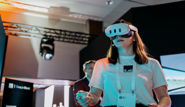
Bentley’s iLab serves as a proving ground for emerging infrastructure technologies. It combines real project data with tools such as AI, real-time rendering, and spatial streaming to test new workflows and demonstrate value. One example is an offshore wind prototype that integrates iTwin, Cesium for Unreal, drone imagery, and IoT feeds to simulate construction and operational scenarios. Such demonstrations help validate technology benefits and support decision-makers seeking measurable outcomes before large-scale adoption.
In practical terms, the combined capabilities support:
Preconstruction: Drone and LiDAR capture streamed for design validation and community engagement.
Construction: Real-time overlays comparing design models with as-built conditions.
Operations: Contextualized asset monitoring and maintenance planning.
Resilience Planning: Scenario modeling for extreme weather events or urban stress conditions.
iLab’s role is to validate these workflows and help transition early innovations into production-ready solutions.
Bentley’s acquisition of Cesium strengthens its digital twin strategy by enhancing openness, scalability, and real-world context. The iLab serves as a critical innovation channel, turning these capabilities into tangible project outcomes. For infrastructure stakeholders, the direction is clear: evaluate Cesium-enabled workflows, integrate spatial streaming into project specifications, and prioritize open standards to maintain data flexibility.
The infrastructure sector is steadily moving toward integrated, data-driven, and spatially intelligent operations. Bentley’s integration of Cesium—and its continued investment through iLab—signals that this transformation is accelerating and will likely define the next phase of digital infrastructure development.